blackrhinoBOARDING PASS
GNDthe ground
SKYevery flight over india
PASSENGERYOU
FLIGHTBRH 001
GATE/MAP
SEATWINDOW
BOARDINGNOW
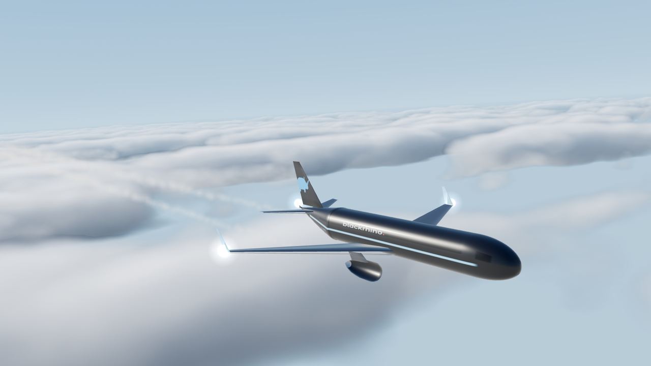
BlackRhino is a radar for the whole subcontinent. Every airliner, freighter and business jet, tracked live, on a map, in 3D, and on your phone at 35,000 ft.
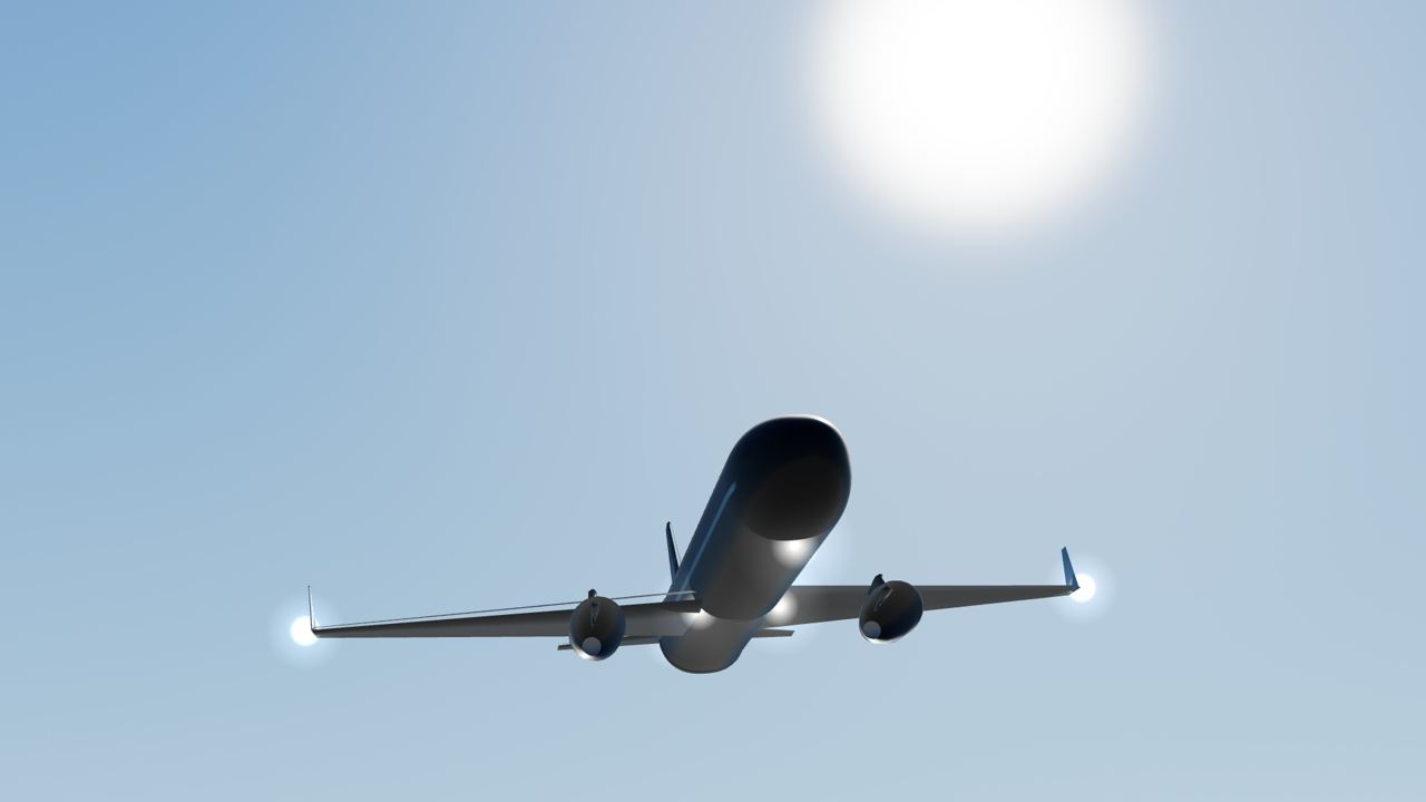
rhinos don't fly. ours does, over every runway, every city and every cloud in india. quietly. constantly. live.
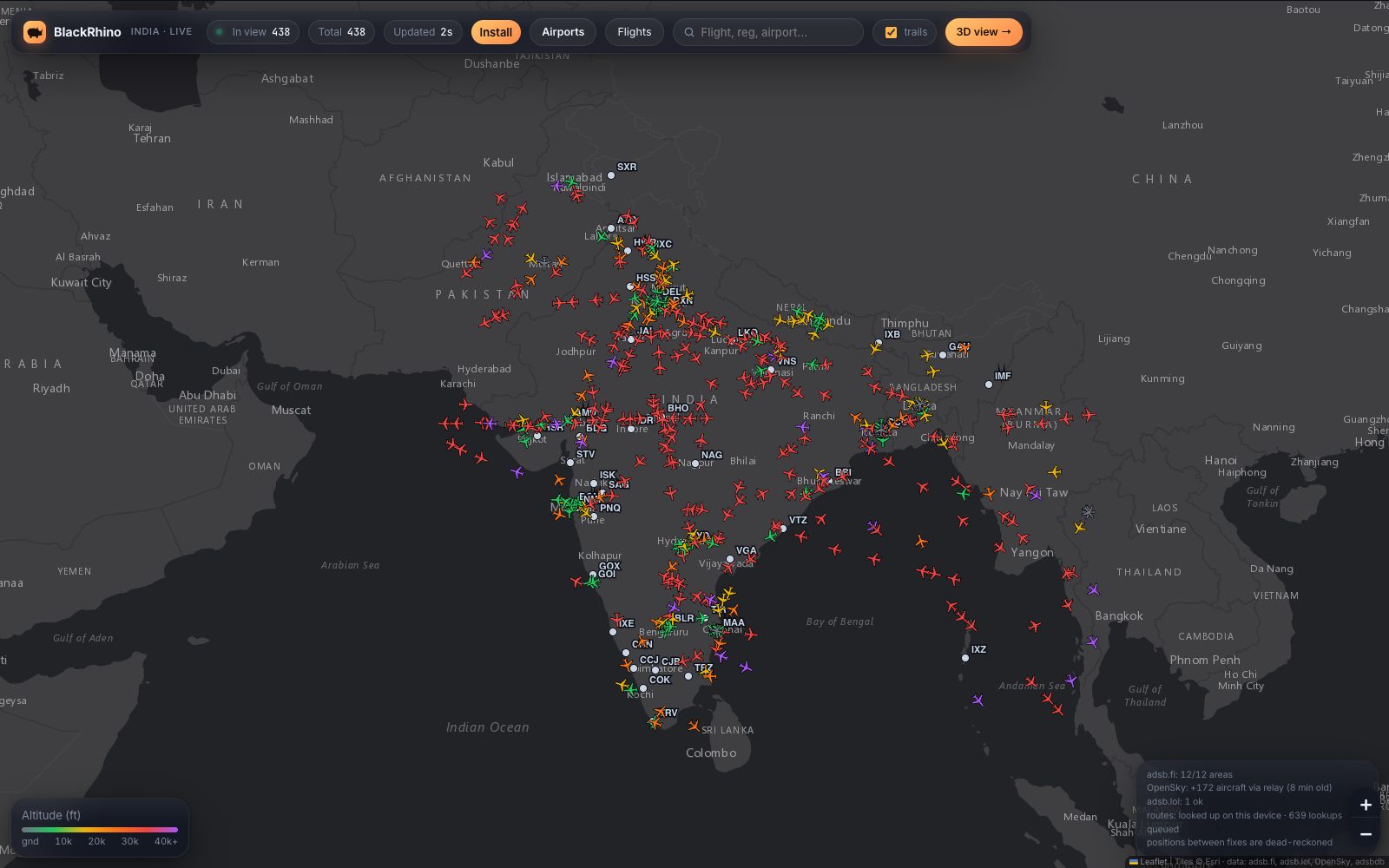
Each blip is a real aircraft from community ADS-B receivers, painted as the sweep passes and moved in between fixes. Hover to identify. Click to follow it on the radar.
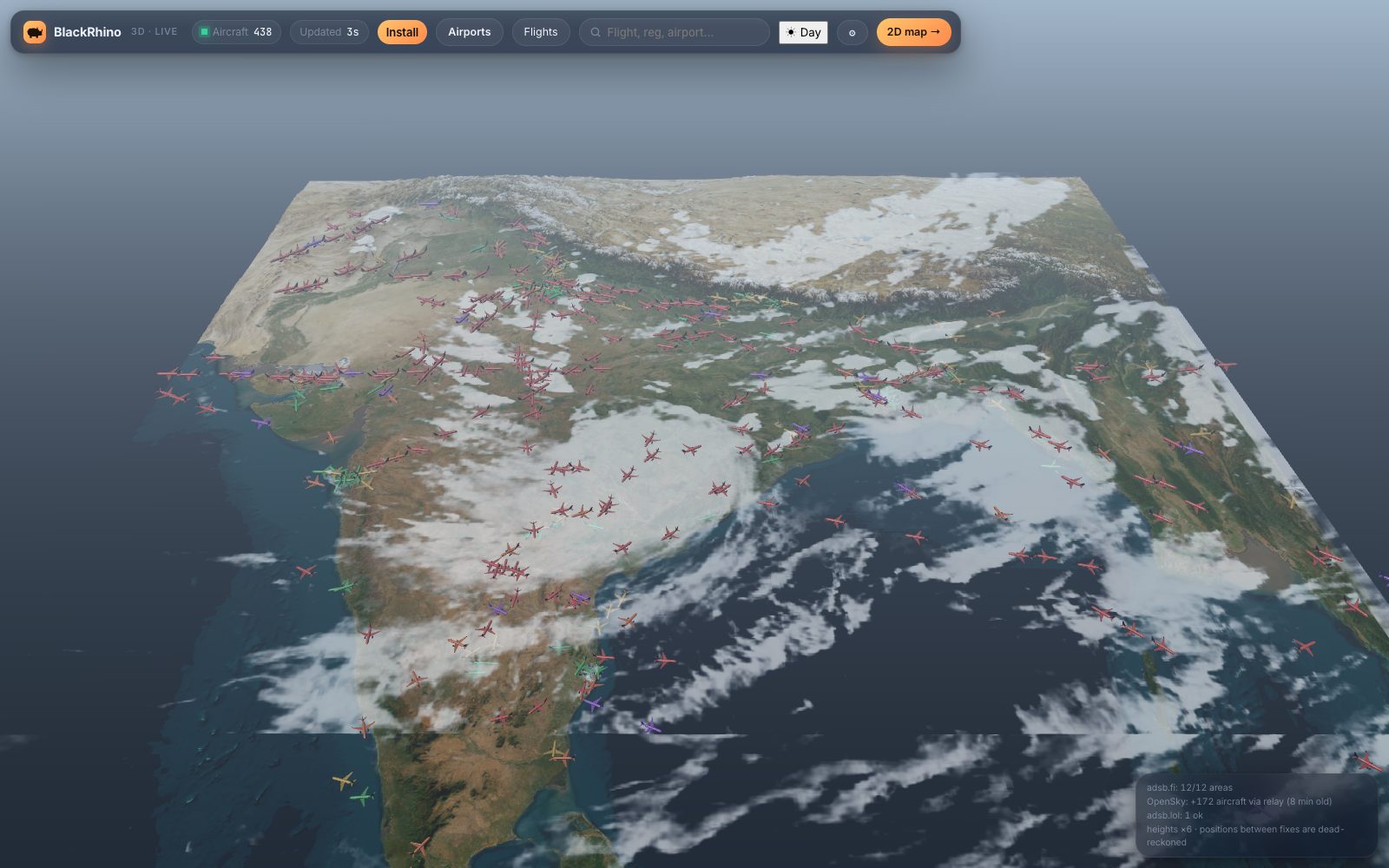
A fast, quiet 2D radar for following traffic, and a 3D India with real terrain, a real sun and tonight's satellite clouds. Same live data, both screens.
Controllers keep every flight on a paper strip. We kept the idea for the features.
The short answers about the live flight radar for India. More on the airport pages, the radar map and the 3D map.
Yes. It is a free educational project: no sign-up, no ads, no subscription. You can watch every aircraft over India on a 2D radar map or a 3D map.
From community ADS-B receiver networks (adsb.fi, adsb.lol and OpenSky) plus public aircraft and route databases. See the credits page for the full list.
Positions refresh about every 15 seconds. Between updates the position is estimated from the aircraft's speed and heading, and near airports where receivers go quiet, landing positions are modelled.
Yes. Near me uses your device's location, only inside your browser, to show which aircraft is overhead, where to look, and when the next one passes. On a phone the view turns with the compass.
Yes. Type something like "hyd to blr" or "indigo above 30k ft", even with a spelling slip. A small language model running in your browser turns it into a filter and the map frames the matching flights.
No. Positions can be late or wrong, so never use them for flying or safety decisions. BlackRhino is for learning and curiosity, and commercial use of the site or its data is not permitted.
No. Military-flagged and blocked aircraft are not shown.
Yes. Open blackrhino.in on any phone, or add it to your home screen to use it like an app.
BlackRhino is a free educational project: a place to explore aviation data, maps and small machine-learning models. It is not a business and has no commercial purpose.
Built for learning and curiosity. It shows what open ADS-B data, open maps and a small model trained from scratch can do together.
No ads, no subscriptions, no sale of data, no accounts. Using the site or its data for commercial purposes is not permitted, and this project does not do so either.
Near me and the ask-in-words search run inside your browser. Your location is never sent to us. See the privacy page.
Positions come from community receivers and can be late or wrong. Never use them for flying, operations or safety decisions. Not affiliated with any airline, airport or data provider.